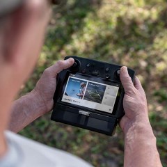
Hall effect joystick with ergonomic design offers high accuracy control and an ultra-low latency of 7ms.Compatible with :DJI FPV DroneDJI FPV Goggles ..
The lightweight DJI Mini 3 Series 360° Propeller Guard fully wraps the propellers to avoid injury or damage and improve flight safety.Take a Closer Lo..
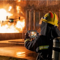
DJI Zenmuse H20NThe Zenmuse H20N's zoom and wide-angle cameras are equipped with starlight sensors, which enhance its performance. When you combine th..
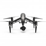
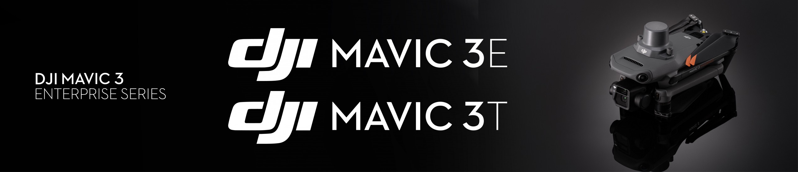
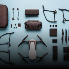
DJI MAVIC 3 ENTERPRISE SERIESYour Everyday Commercial DroneThe Mavic 3 Enterprise Series redefines industry standards for small commercial drones. Wit..
DJI MAVIC 3 ENTERPRISE SERIESYour Everyday Commercial DroneThe Mavic 3 Enterprise Series redefines industry standards for small commercial drones. Wit..
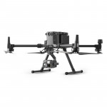
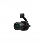
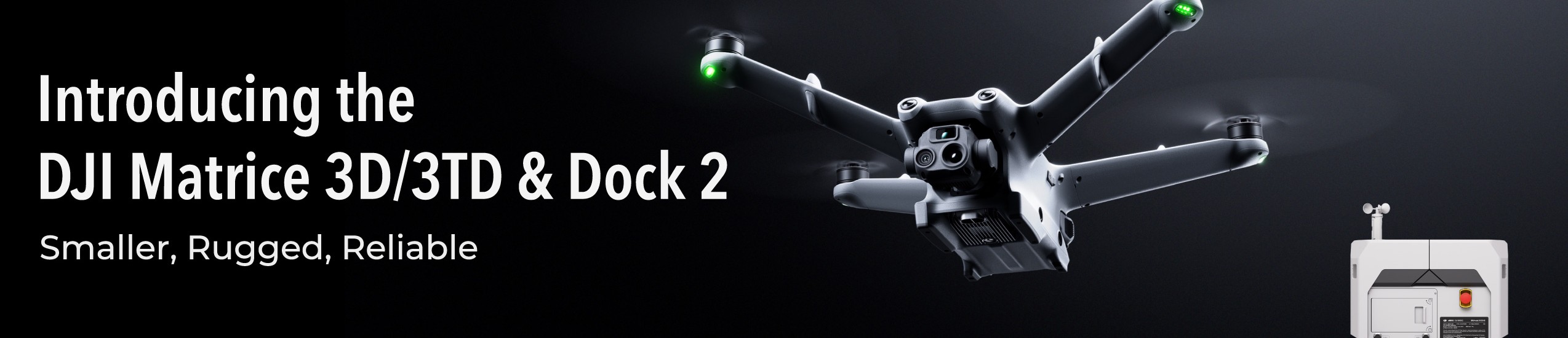
The all-new DJI Matrice 3D/3TD is specifically designed for DJI Dock 2. Matrice 3D is equipped with both a tele camera and a wide-angle camera with a ..
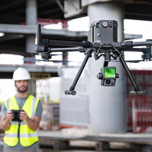
Elevate your aerial surveying capabilities with the DJI Zenmuse L2 LiDAR payload for the DJI Matrice 300 series. Boasting high precision, exceptional ..
The lightweight DJI Mini 3 Series 360° Propeller Guard fully wraps the propellers to avoid injury or damage and improve flight safety.Take a Closer Lo..
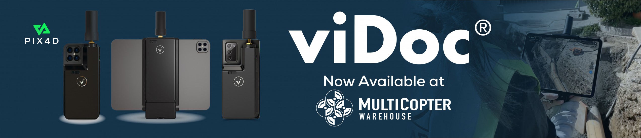
Centennial, CO – July 01, 2021 – Multicopter Warehouse, Inc is pleased to announce that Mr. Jim Dula recently joined Multicopter Warehouse as the new General Manager. Jim assumed the role on Thursda..
Unmanned Aerial Vehicles (aka drones) provide a reliable, rugged and economical aerial surveillance that can fly in conditions too dangerous for helicopter pilots
By Police1 BrandFocus Staff
Th..
A lot of people have been asking how to install the Pilot App on the CrystalSky displays. The short answer is, it is already installed. However, you cannot get to it by default so we will walk you th..
The conversation on Facebook and forums usually starts off like this: “why should I shoot in 4k when my TV is only 1080p?”. At first this seems like a very legitimate question. However, the answer is..
See how the Autel EVO II Dual can be used for public safety agencies or certain types of inspection work.
https://www.youtube.com/watch?v=oEF4M64UTTA
..


-250x250w.jpg "DJI M350 TB65 Intelligent Flight Battery")
-250x250w.jpg "DJI M350 TB65 Intelligent Flight Battery")


_in-the-box-250x250w.jpg "Mavic 3 Enterprise Series-PART 04-Battery Charging Hub(100W)")


_NA_right_45-250x250w.jpg "Mavic 3 Enterprise Series-PART 07-USB-C Power Adapter (100W)(NA)")
_NA_left_45-250x250w.jpg "Mavic 3 Enterprise Series-PART 07-USB-C Power Adapter (100W)(NA)")
")
")
")
-全家福-左45°-250x250w.jpg "DJI Avata 2 Fly More Combo (Three Batteries)")


-250x250w.png "Matrice 3D with Dock 2")